|
| *****SWAAG_ID***** | 229 |
| Date Entered | 21/06/2011 |
| Updated on | 21/06/2011 |
| Recorded by | Tim Laurie |
| Category | Mining Related |
| Record Type | Mining |
| Site Access | Public Access Land |
| Record Date | 20/06/2011 |
| Location | Wensleydale, Bishopdale, Dale Head |
| Civil Parish | Bishopdale |
| Brit. National Grid | SD 95234 80716 |
| Altitude | 420m |
| Geology | Drift over shales |
| Record Name | Lead Bale Smelting Site at Dale Head, Bishopdale |
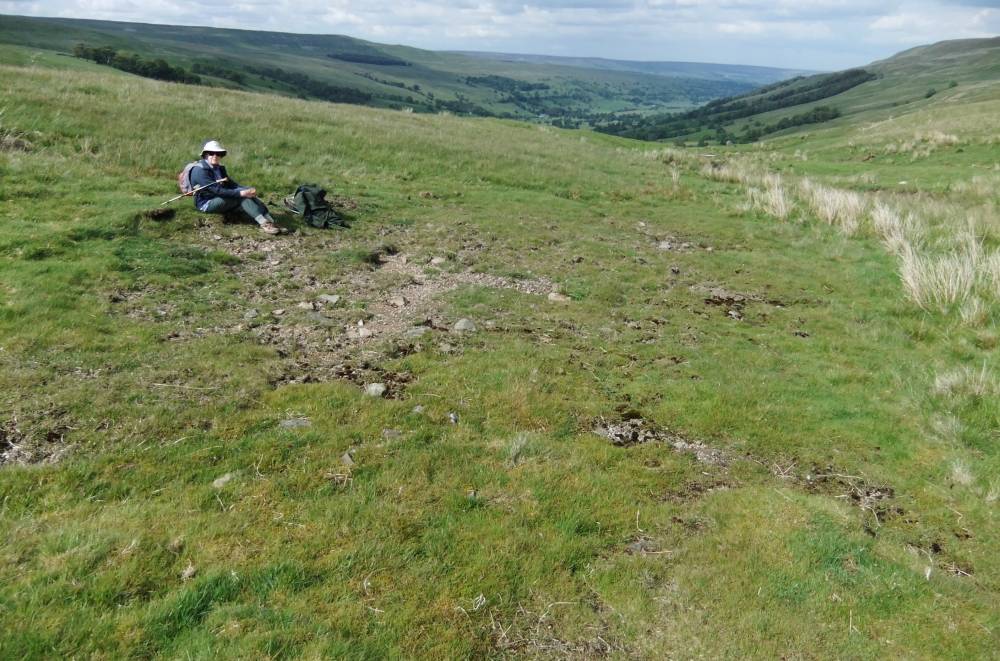
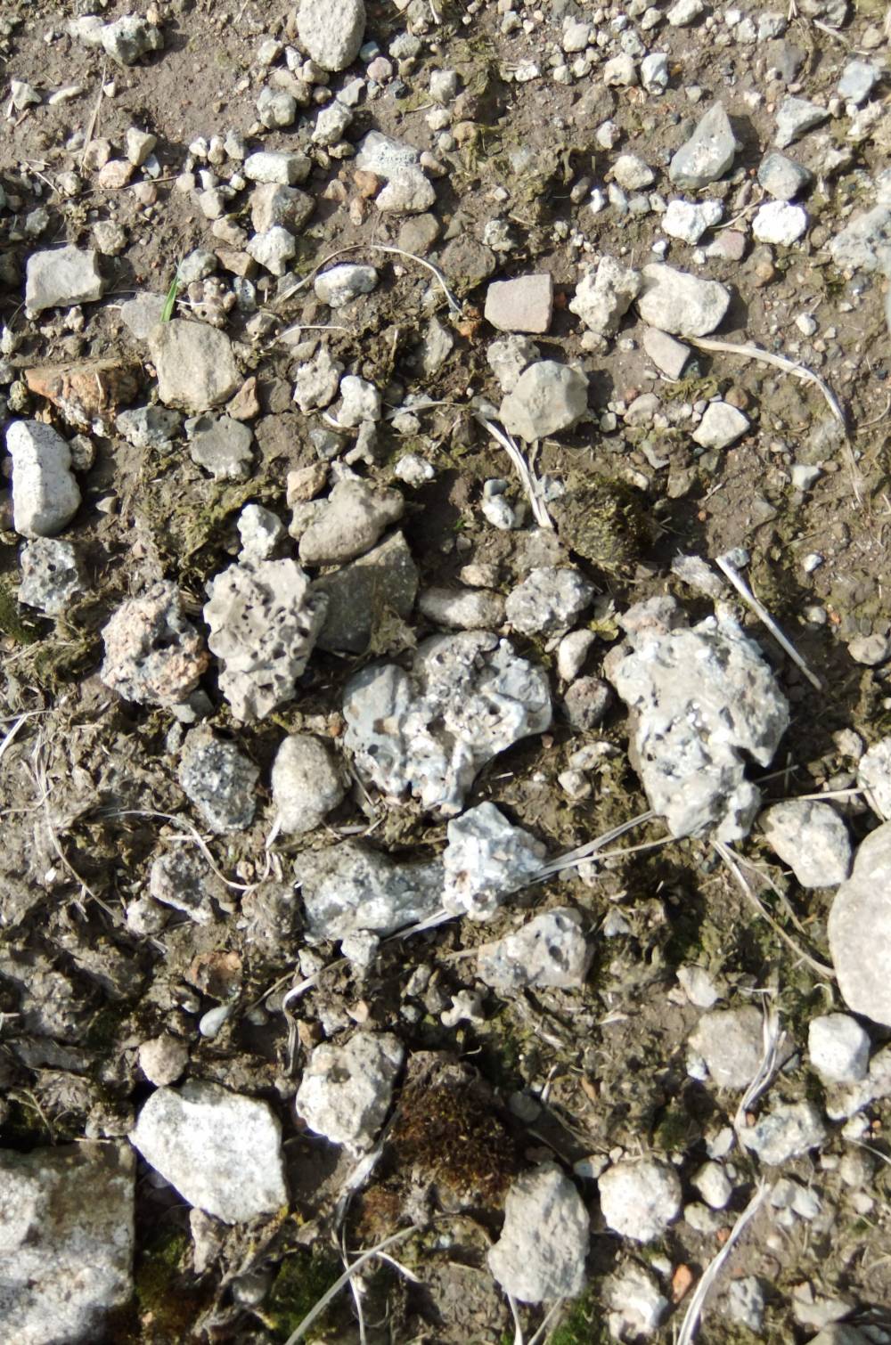
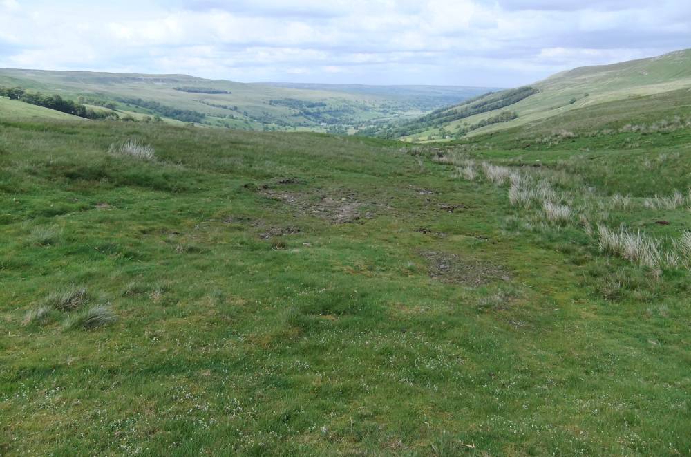
| Record Description | Lead bale site adjacent to a small stream, defined by by a roughly circular area of bare ground too contaminated to support vegetation covered with fragments of lead slag and burnt stone.
Much charcoal evident below the turf at the edges of the bare ground. |
| Dimensions | 10m diameter approximate area with visible slag |
| Additional Notes | It is probable that other bale sites remain to be recognised in this area. However, no lead working or mining sites evident from a brief observation of the area. |
| Image 1 ID | 828 Click image to enlarge |
| Image 1 Description | Lead bale site. Dale Head. |  |
| Image 2 ID | 829 Click image to enlarge |
| Image 2 Description | Lead slag, detail | 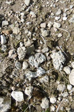 |
| Image 3 ID | 830 Click image to enlarge |
| Image 3 Description | Lead bale site. Dale Head. | 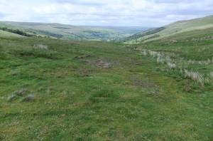 |